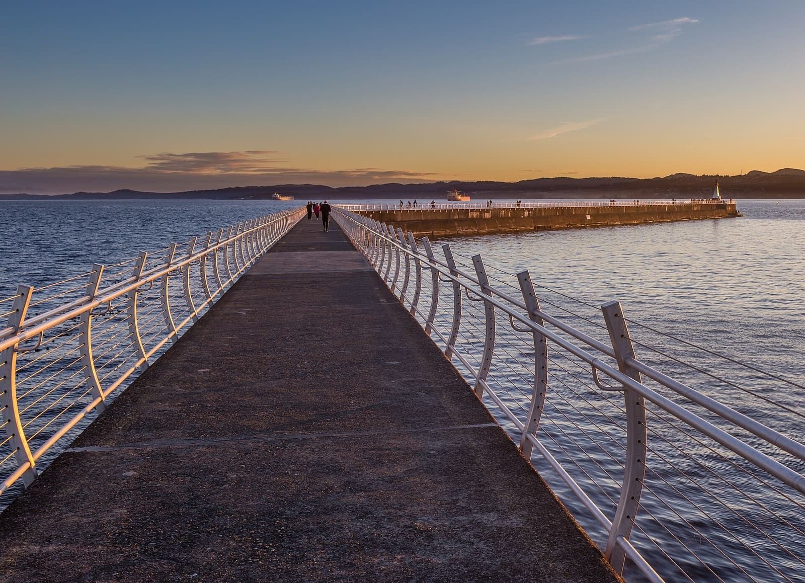

Sunset times are worked out on this page for any date you pick, along with golden hour (when the sun is under 6 degrees above the horizon) and the end of twilight. The sun sets towards the west-southwest in winter and the northwest in summer, so which waterfront spots have open water ahead changes through the year; the list shows that for your date, from OpenStreetMap coastline geometry.
Sunset and golden hour in Victoria
Sunset today, October 19, 2026: 6:16 pm
- Golden hour starts 5:33 pm (sun 6 degrees above the horizon) and ends at sunset.
- Sunrise 7:40 am. End of civil twilight 6:48 pm.
- The sun sets towards WSW (255° clockwise from north).
Spots with open water towards the sunset
- Clover Point Fairfield
Open water ahead for 14 km. - Dallas Road Waterfront Trail (Victoria Point Battery) James Bay
Water ahead for about 8 km, then land. - Ogden Point breakwater James Bay
Water ahead for about 8 km, then land. - Macaulay Point Esquimalt
Water ahead for about 6 km, then land. - Cattle Point Oak Bay
Only 1 km of water ahead, then land. - Esquimalt Lagoon Colwood
Only 1 km of water ahead, then land. - Fisgard Lighthouse and Fort Rodd Hill Colwood
Only 1.2 km of water ahead, then land. - Fisherman’s Wharf James Bay
Only 1 km of water ahead, then land. - Gonzales Beach Gonzales
Only 1 km of water ahead, then land. - Inner Harbour (Empress) Downtown
Only 1 km of water ahead, then land. - Island View Beach Central Saanich
Land for 7.3 km before the water in that direction. - Mount Tolmie Saanich
Land for 5.2 km before the water in that direction. - PKOLS (Mount Douglas) summit Saanich
Land for 45.8 km before the water in that direction. - Ross Bay Fairfield
Land for 1.7 km before the water in that direction. - Songhees Walkway (Songhees Landing) Victoria West
Only 1.1 km of water ahead, then land. - Willows Beach Oak Bay
Only 1 km of water ahead, then land. - Witty’s Lagoon Metchosin
Only 1 km of water ahead, then land.
| Date | Sunrise | Golden hour starts | Sunset | Civil twilight ends | Sets towards |
|---|---|---|---|---|---|
| Mon, Oct 19 | 7:40 am | 5:33 pm | 6:16 pm | 6:48 pm | WSW 255° |
| Tue, Oct 20 | 7:41 am | 5:31 pm | 6:14 pm | 6:46 pm | WSW 255° |
| Wed, Oct 21 | 7:43 am | 5:29 pm | 6:13 pm | 6:45 pm | WSW 254° |
| Thu, Oct 22 | 7:44 am | 5:27 pm | 6:11 pm | 6:43 pm | WSW 254° |
| Fri, Oct 23 | 7:46 am | 5:25 pm | 6:09 pm | 6:41 pm | WSW 253° |
| Sat, Oct 24 | 7:47 am | 5:23 pm | 6:07 pm | 6:39 pm | WSW 253° |
| Sun, Oct 25 | 7:49 am | 5:21 pm | 6:05 pm | 6:38 pm | WSW 252° |
| Mon, Oct 26 | 7:50 am | 5:19 pm | 6:04 pm | 6:36 pm | WSW 252° |
| Tue, Oct 27 | 7:52 am | 5:17 pm | 6:02 pm | 6:34 pm | WSW 251° |
| Wed, Oct 28 | 7:54 am | 5:15 pm | 6:00 pm | 6:33 pm | WSW 251° |
| Thu, Oct 29 | 7:55 am | 5:13 pm | 5:59 pm | 6:31 pm | WSW 250° |
| Fri, Oct 30 | 7:57 am | 5:12 pm | 5:57 pm | 6:30 pm | WSW 250° |
| Sat, Oct 31 | 7:58 am | 5:10 pm | 5:55 pm | 6:28 pm | WSW 249° |
| Sun, Nov 1 | 8:00 am | 5:08 pm | 5:54 pm | 6:26 pm | WSW 249° |
| Month | Sunrise | Sunset | Daylight | Sets towards |
|---|---|---|---|---|
| January | 9:00 am | 5:46 pm | 8 h 46 min | WSW 238° |
| February | 8:21 am | 6:35 pm | 10 h 14 min | WSW 252° |
| March | 7:27 am | 7:19 pm | 11 h 52 min | W 268° |
| April | 6:23 am | 8:05 pm | 13 h 41 min | WNW 286° |
| May | 5:33 am | 8:47 pm | 15 h 14 min | WNW 301° |
| June | 5:11 am | 9:17 pm | 16 h 5 min | NW 308° |
| July | 5:28 am | 9:11 pm | 15 h 43 min | NW 305° |
| August | 6:07 am | 8:28 pm | 14 h 21 min | WNW 292° |
| September | 6:50 am | 7:26 pm | 12 h 36 min | W 275° |
| October | 7:33 am | 6:24 pm | 10 h 51 min | WSW 258° |
| November | 8:21 am | 5:34 pm | 9 h 13 min | WSW 242° |
| December | 8:58 am | 5:19 pm | 8 h 20 min | SW 235° |
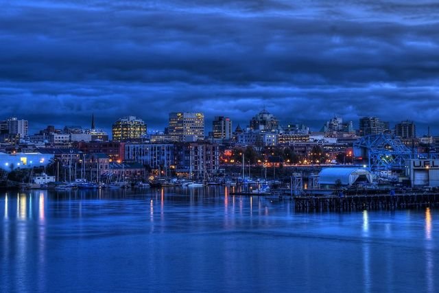
Photo: Brandon Godfrey · CC BY-SA 2.0

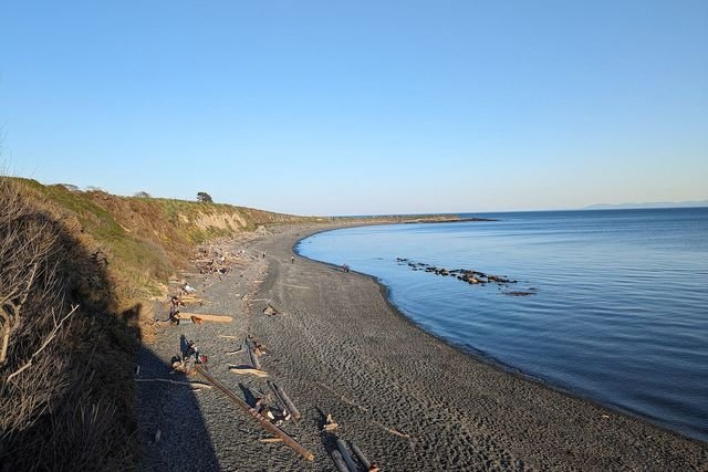
Photo: Hannah Clover · CC BY-SA 4.0

How the times are worked out
The page calculates the sun’s position from the date, latitude and longitude, using the NOAA solar calculator equations. We checked it against independent reference times for five dates through the year: sunrise, sunset and the end of twilight agree to within three minutes, golden hour to within five, and the compass bearings of sunrise and sunset to within one degree.
Tides and sunsets
If you are going to a beach for the sunset, the tide planner shows whether the tide is in or out at that time. For an evening in port, the cruise port planner uses the same sunset times.
What the spot list does not tell you
It is a line-of-sight check over water only. It does not know about buildings, trees, cliffs or the mountains across the Strait of Juan de Fuca, which can hide the sun before the time listed. It does not say whether a spot is open after dark or easy to reach: check the place’s own page.
Frequently asked questions
What time is sunset in Victoria today?
The planner shows it for today and any date you choose. Times are Pacific time. From 1 November 2026 British Columbia stays on UTC-7 all year (BC Government release of 2 March 2026), so winter sunsets are an hour later on the clock than they were under daylight saving time.
What is golden hour?
We use the common definition: the period when the sun is less than 6 degrees above the horizon, ending at sunset. In mid-June that starts about 50 minutes before sunset; in December, about 55 minutes before. Other sources use slightly different angles, so expect differences of a few minutes.
Where does the sun set from Victoria?
Towards about 235 degrees (southwest) at the December solstice, due west near the equinoxes, and about 308 degrees (northwest) at the June solstice. The page gives the bearing for your date and checks each spot for open water in that direction.
How are the spots chosen?
Each spot is a waterfront point from OpenStreetMap or our places data. For every compass bearing the sun can set on, we measure how much open water lies ahead along the coastline. Ten kilometres or more starting at the shore counts as an open view. Buildings, trees and hills are not included, so a clear line over water is not a guarantee of a clear sunset.
Is there a best spot?
We do not rank beauty, crowds or access. Blogs and tourism pages often name Ogden Point, Dallas Road and Clover Point; the planner shows whether each has open water ahead on your date, and you can compare the distances.
More in Things to do
- Things to do in Victoria BCHub
- Craigdarroch CastleGuide
- Butchart GardensGuide
- Whale watchingGuide
- Royal BC MuseumGuide
- Afternoon teaGuide
- Day trips from VictoriaGuide
- Tide timesGuide
- BeachesGuide
- Bike rental and trailsGuide
- Hikes near VictoriaGuide
- Scenic drivesGuide
- Food in VictoriaGuide
Sources
- NOAA solar calculator equations (J. Meeus), implemented in src/lib/sun.ts and tested against independent reference times
- BC Government: Adopting permanent daylight saving time (2 March 2026)
- OpenStreetMap contributors (ODbL): coastline and spot coordinates
- Tourism Victoria: Where to catch a sunset in Greater Victoria (the question people ask)