
Four drives from Victoria: the Dallas Road and Oak Bay waterfront (about 12 km, 24 minutes), the Saanich Peninsula to Butchart Gardens, Sidney and Swartz Bay (about 42 km, 55 minutes), Goldstream and the Malahat (about 32 km, 32 minutes) and Metchosin to Sooke (about 47 km, 77 minutes). Times are free-flow driving without stops, from OpenStreetMap roads, not live traffic or turn-by-turn directions.
Four scenic drives
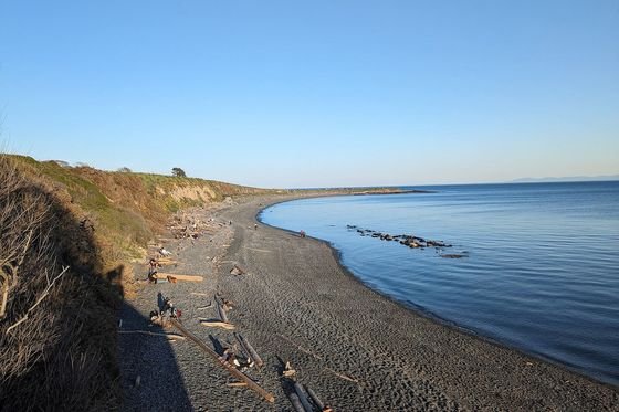
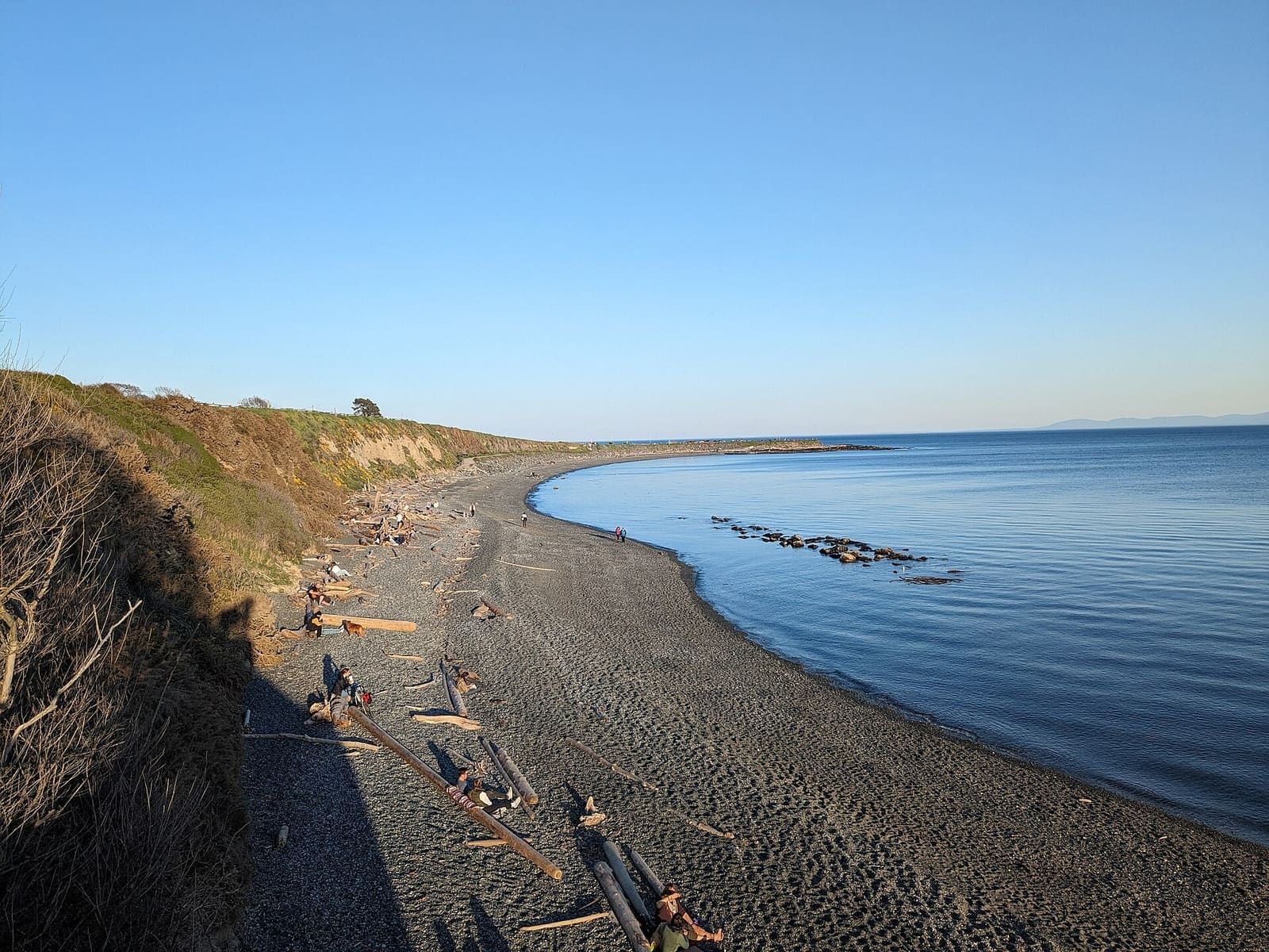
Dallas Road and the Oak Bay waterfront
- 11.7 km
- 24 min driving
- 5 stops
- Ogden Point
- Clover Point
- Gonzales Beach
- Willows Beach
- Cattle Point
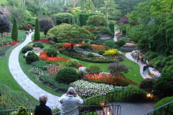
Saanich Peninsula: Butchart Gardens to Sidney and Swartz Bay
- 41.9 km
- 55 min driving
- 4 stops
- Inner Harbour (Fairmont Empress)
- The Butchart Gardens
- Sidney (Beacon Avenue)
- Swartz Bay ferry terminal
The Butchart GardensDo you need a car?Lochside Regional Trail
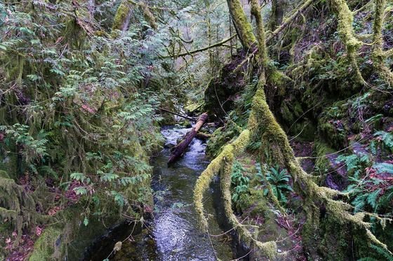
Goldstream and the Malahat
- 31.9 km
- 32 min driving
- 3 stops
- Inner Harbour (Fairmont Empress)
- Goldstream Provincial Park
- Malahat Summit rest area
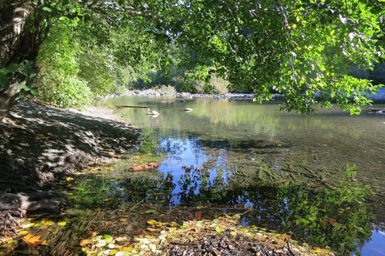
Metchosin, East Sooke and Sooke
- 47.2 km
- 1 h 17 min driving
- 5 stops
- Fisgard Lighthouse and Fort Rodd Hill
- Witty’s Lagoon
- Matheson Lake
- Sooke
- Sooke Potholes
How the routes work
Each drive links stops we already cover on the site. The route between stops is the fastest road path on the OpenStreetMap graph, and the times assume free-flow speeds. Open a drive’s map to see the road line and the stops; the list above it has the same places.
Before you go
Summer weekends are busier at Butchart Gardens, Goldstream and Sooke Potholes, and the Malahat can slow with roadworks or crashes. Check DriveBC for conditions and see the car guide if you are deciding whether to hire one.
Frequently asked questions
How long are the drives?
Without stops or traffic: the waterfront drive is about 12 km and 24 minutes, the Saanich Peninsula about 42 km and 55 minutes, Goldstream and the Malahat about 32 km and 32 minutes, and Metchosin to Sooke about 47 km and 77 minutes. Allow more for stops, summer traffic and ferry queues near Swartz Bay.
Are these turn-by-turn directions?
No. Each route is the fastest road path between the stops on the OpenStreetMap road network, so a driver may choose a slightly different road. Use a navigation app for directions on the day.
Do I need a car for these?
The waterfront has buses and bike paths, and Butchart Gardens has a bus. Goldstream, the Malahat and the Sooke area are easiest by car. See the car guide for the options.
Where do the times come from?
From the OpenStreetMap road network with the same speed assumptions as the site’s travel-time matrix, shown in its notes. They are free-flow estimates, not measured trips.
More in Things to do
- Things to do in Victoria BCHub
- Craigdarroch CastleGuide
- Butchart GardensGuide
- Whale watchingGuide
- Royal BC MuseumGuide
- Afternoon teaGuide
- Day trips from VictoriaGuide
- Sunset times and spotsGuide
- Tide timesGuide
- BeachesGuide
- Bike rental and trailsGuide
- Hikes near VictoriaGuide
- Food in VictoriaGuide